There are only six years to go before the deadline that could significantly restrict safe access for horse riders on public rights of way. So, if you haven’t already done so, now is the time to log your favourite routes.
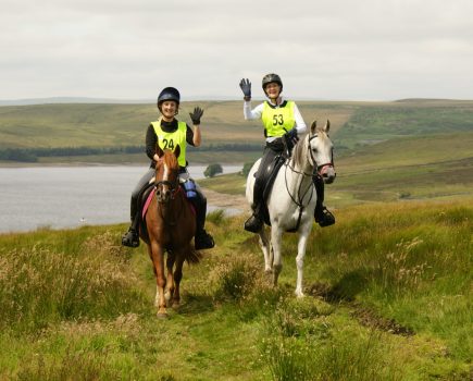
In England, the equestrian fraternity only has access to 22% of public rights of way.
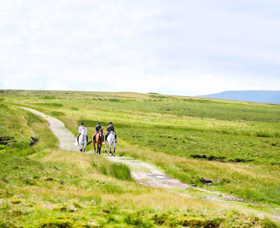
Many unrecorded bridleways are frequently used by horse riders who may be unaware that come 1 January 2026, they may be confronted, quite legally, by a locked gate.
The more of the off-road network riders lose, the more horses will have to be ridden on today’s ever more dangerous roads.
The British Horse Society (BHS) and 300 volunteers across England and Wales are fighting to change this. But thousands of miles remain unrecorded.
The BHS’s project jigsaw campaign is aiming to provide all equestrians with access to a safe network of off-road tracks. A major part of this project is getting historic routes onto the map to prevent them from being lost forever.
What is the 2026 deadline?
Following the Countryside and Rights of Way (CROW) Act 2000, all unrecorded footpaths and bridleways in England and Wales will be removed from the map if they haven’t formally been recorded by 1 January 2026.
Routes not recorded by this date will be lost forever — affecting not only the 1.8 million people who ride regularly, but also the 20 million people who own a bike, 9.9 million dog walkers and the 9 million-plus people who walk recreationally.
Mark Weston, director of access at The British Horse Society, says: “With the rising number of vehicles on UK roads, the need for safe off-road routes for vulnerable road users has never been greater.”
How to check the status of your local bridleways
- Look at an Ordnance Survey Explorer 1:25,000 scale map and familiarise yourself with the key to the map.
- Find the routes you ride on the Ordnance Survey map and check to see if they are marked as a ‘bridleway’, ‘restricted byway’, or a ‘byway open to all traffic’ (BOAT). If the route is marked correctly you don’t need to do anything else — it’s safe!
- If your route isn’t marked, or if it’s marked as something different to what you expected, you can double check it on the local authority’s map. You can do this online or by contacting its Rights of Way department.
- Once you’ve found the authority’s map, check to see if the route is marked. If it is marked correctly, it will remain a route after the 2026 deadline.
- If you have followed these steps and you still don’t believe that the route you ride is recorded correctly, you can log the route with the BHS, or save it yourself by applying through your local authority.
Get it on the map
Preserving bridleways for public use is essential so that equestrians today and in the future have safe off-road routes to ride on.
Joanna Roseff is a rights of way volunteer for the Horse Access Campaign UK (HAC) and has submitted numerous applications. “Many bridleways were recorded as footpaths or are simply left off because local people thought they were old roads that didn’t need to be recorded,” Joanna explains. “It’s so important that riders themselves gather user evidence to ensure that their local paths are recorded.
“You’ll need persistence, but if you do succeed you will have made a lasting contribution to preserving an amazing resource for riding tracks through our ancient and beautiful countryside.”
Don’t miss the latest issue of Your Horse Magazine, jam-packed with training and veterinary advice, horse-care tips and the latest equestrian products, available now.